Integrated Water Quality Assessments

The 2014 Integrated Water Quality Assessment Report is the latest edition the state’s assessment of how NJ waters are being used. The 2016 integrated report is still being finalized as of this writing, and the 2018 edition is just getting underway.The full 2014 report is 771 pages long and much public feedback goes on, so the time involved in production of these biennial reports is necessarily protracted.

But we can learn something from the 2014 Executive Summary:

  • 63% of NJ waters rated as potential sources of drinking water were not being used for that purpose, primarily because of the presence of natural arsenic.
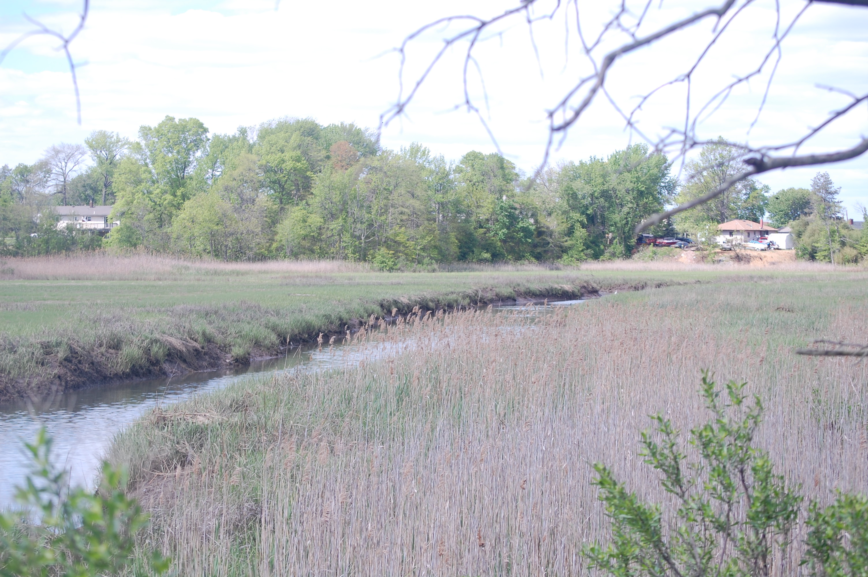
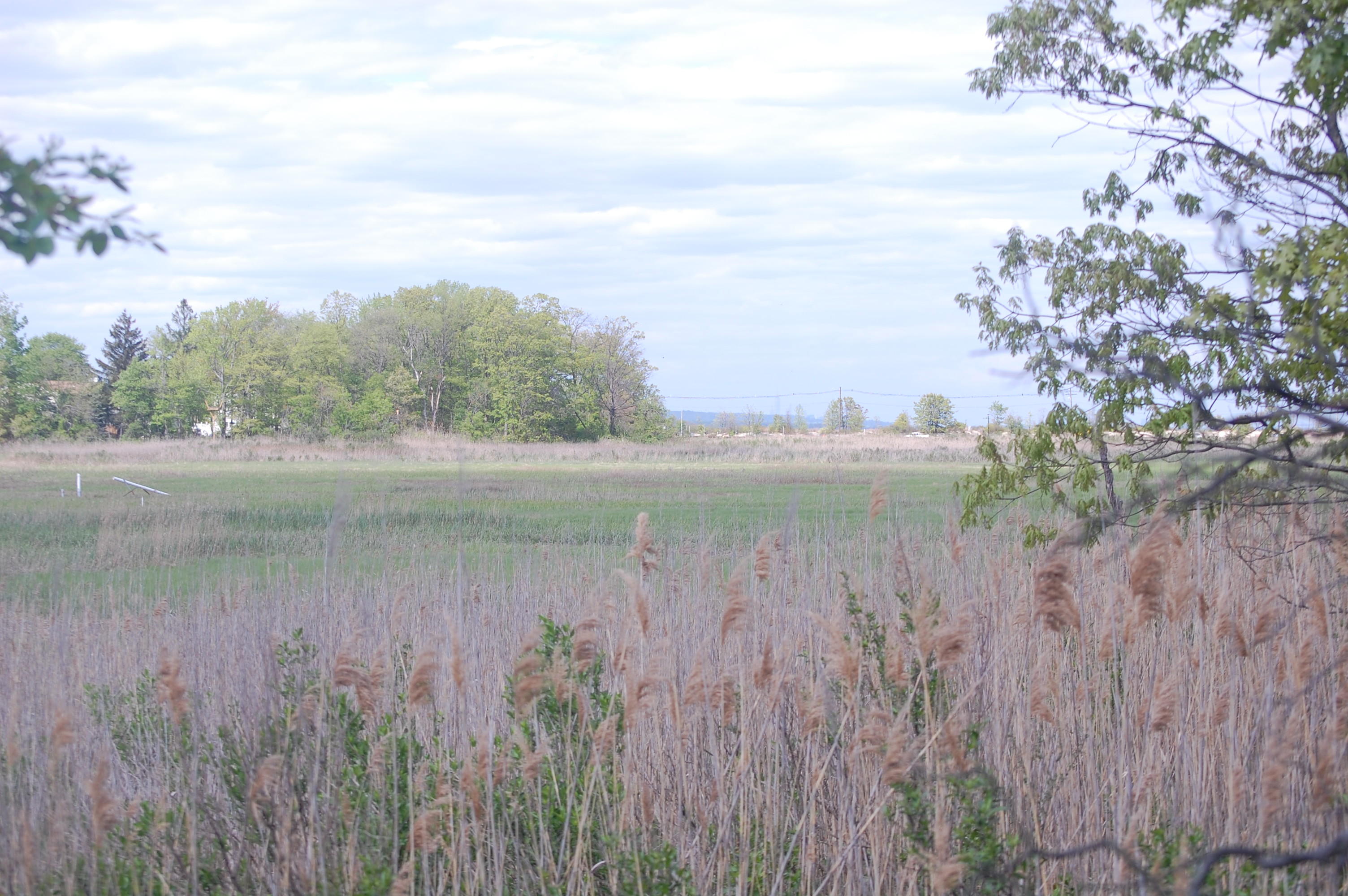
  • While all NJ ocean waters were deemed swimmable, only 24% of all NJ waters (including lakes, rivers, streams) fully met requirements for recreational use. NJ DEP was targeting E coli and other pathogens as major culprits.
  • Only 16% of NJ waters fully met requirements for the support of aquatic life. Two-thirds did not and the rest had not been assessed. Total phosphorus (TP) and other nutrient-related issues, were assessed as the primary cause of impairment. Temperature was assessed as impairing the trout population, which was fully supported in only ten percent of NJ waters designated for their use.
  • 90% of NJ shellfish waters were rated as potentially harvestable but two-thirds did not meet requirements for such use. E coli was the issue.
  • Less than one-half of one percent of NJ waters fully met requirements for fish consumption. Legacy pollutants in the food chain were the main reason for impaired use.
  • Declining water quality trends for nitrate, total dissolved solids (TDS) and chlorides were also observed. Ammonia reduction measures implemented at waste treatment plants oxidize ammonia to form nitrate, resulting in increased nitrate concentrations over time. Runoff from urban and agricultural areas, including runoff of salt used to control ice on roadways, are the likely cause of increased TDS and chloride concentrations over time.


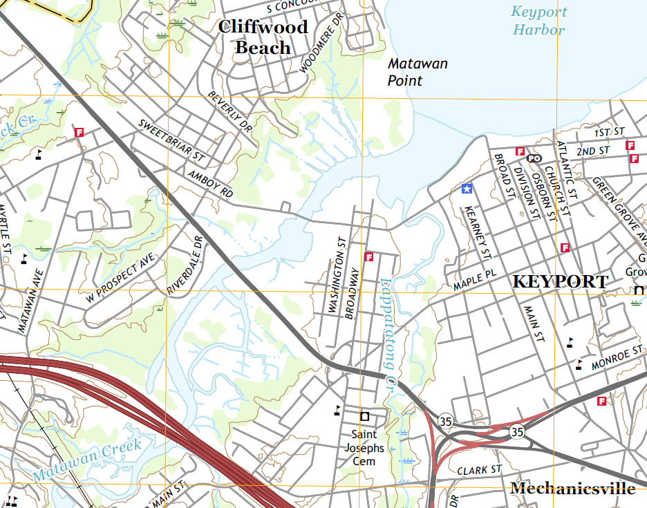
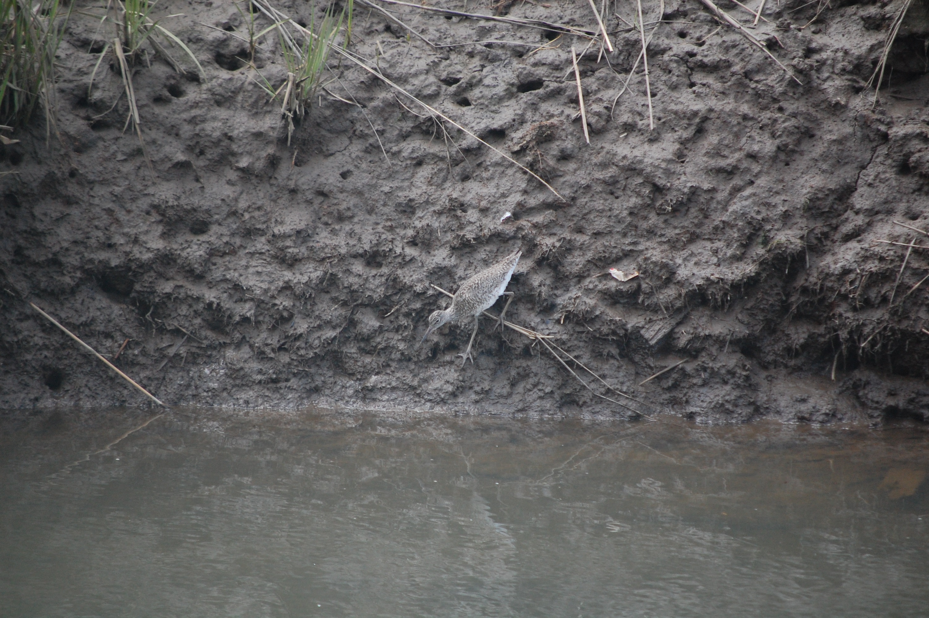
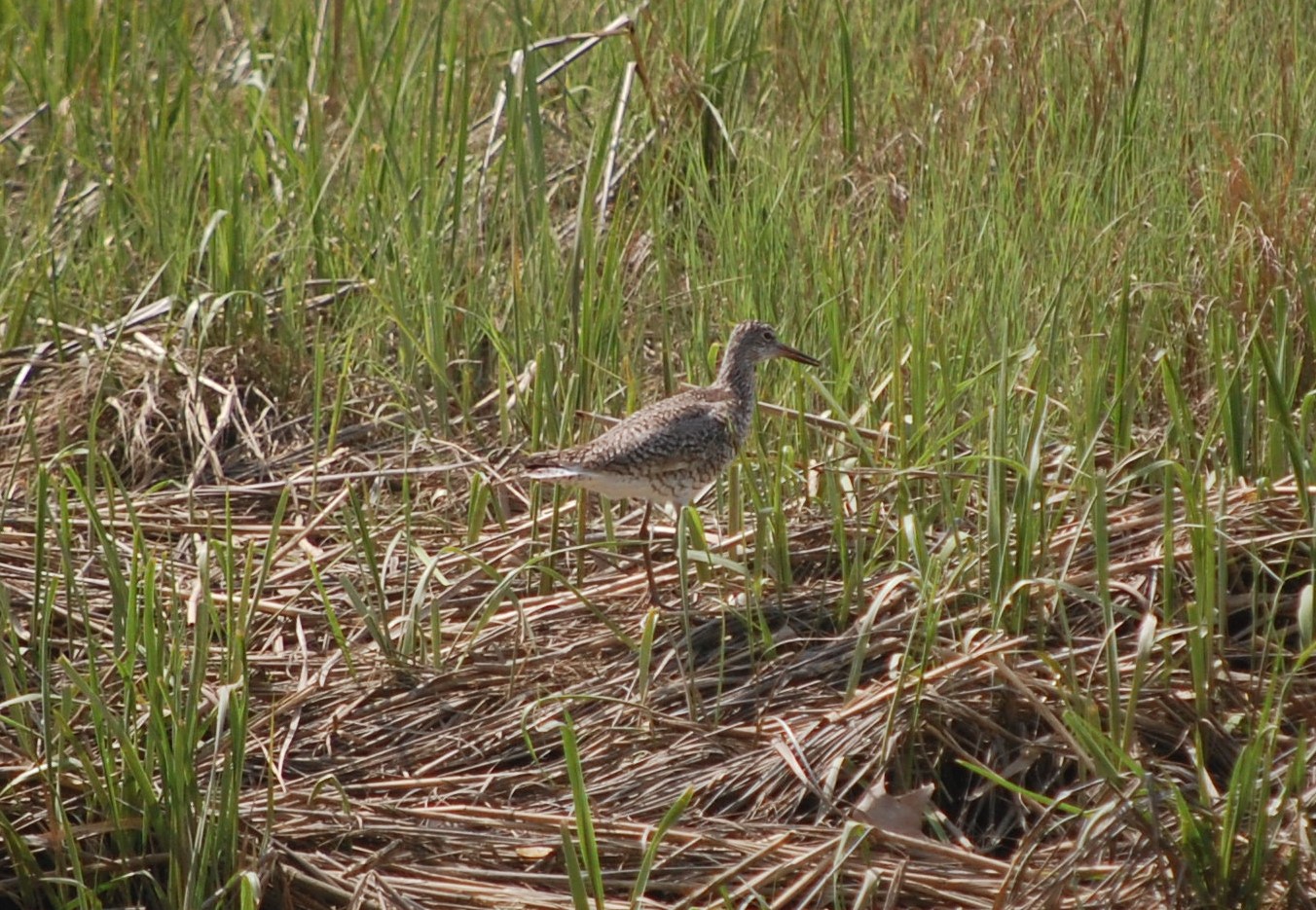
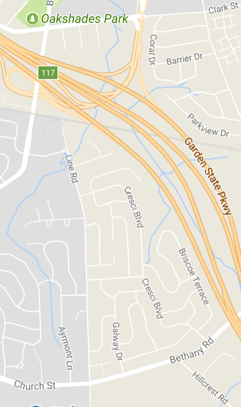
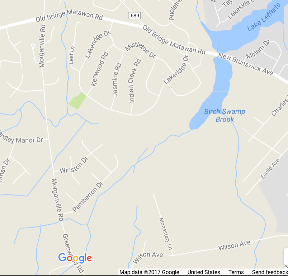
    The NJ DEP Bureau of Freshwater & Biological Monitoring was featured in an August 2017 episode of the Discover DEP podcast. They discussed the Fish and Headwaters’ Index of Biotic Integrity monitoring programs, also known as FIBI & HIBI., which use the status of fish and other aquatic species in northern and western NJ waters as useful measures of water quality there and downstream.

The Environmental Protection Agency says that states hoping to meet the parameters of the Clean Water Act should design state water monitoring systems that answer the following five questions:

1. What is the overall quality of waters in the State? Under Section 305(b) of the Act, the State determines the extent to which its waters meet the objectives of the Clean Water Act, attain applicable water quality standards, and provide for the protection and propagation of balanced populations of fish, shellfish, and wildlife (40 CFR 130.8).

2. To what extent is water quality changing over time? The State assesses and reports on the extent to which control programs have improved water quality or will improve water quality for the purposes of “. . . the protection and propagation of a balanced population of shellfish, fish, and wildlife and . . . recreational activities in and on the water” (40 CFR 130.8(b)(2) and 130.8(b)(1)). Under Section 319(h)(11) of the Act, a State with Section 319 grants reports on reductions in nonpoint-source loadings and related improvements in water quality. Under Section 314(a)(1)(F), a State reports on the status and trends of water quality in lakes. The State may address these requirements through the use of models (for load estimations) and by tracking trends in use assessments. The State also should be able to identify emerging environmental issues related to new pollutants or changes in activities within watersheds.

3. What are the problem areas and areas needing protection? Under Section 303(d), the State must identify impaired waters. The State should also identify waters that are currently of high quality and should be protected from degradation. In order to protect and restore waters, State monitoring and assessment programs should identify the causes and sources of impairment.

4. What level of protection is needed? The State establishes the level of protection that is being monitored against. For example, the State uses data from monitoring programs to conduct triennial reviews of state water quality standards, conduct use attainability analyses, develop and adopt revised designated uses and water quality criteria, establish water quality-based effluent limits in NPDES permits, establish total maximum daily loads, and assess which levels of best management practices for nonpoint sources are most appropriate.

5. How effective are clean water projects and programs? The State monitors to evaluate the effectiveness of specific projects and overall programs, including but not limited to Section 319 (nonpoint source control), Section 314 (Clean Lakes), Section 303(d) TotalMaximum Daily Loads (TMDLs), Section 402 NPDES permits, water quality standards modifications, compliance programs (Discharge Monitoring Report information), and generally to determine the success of management measures.

Combined Sewer Overflows (CSOs)

Monmouth County has dedicated sewer pipes, while NY and NJ communities north and west of us combine stormwater with their sewage (black dots, map). Combined sewer systems are designed to spew effluent unprocessed directly into waterways when rain or snow melt overwhelm associated sewage treatment plants. When constructed, combined sewer overflows (CSOs) were deemed a preferable method deal with sewage backups rather than having sewage spill into homes, businesses, and public streets. However, the raw sewage discharged into waterways north and west of Aberdeen Township ends up in the Raritan Bay, polluting swimming beaches (red dots).

The New York and New Jersey Harbor and Estuary Program has identified CSOs as a critical regional environmental issue to be addressed over the next five years.

See the Estuary Program’s 2008 Harbor-Wide Monitoring Report (pp 13-15) and its draft 2017-2022 Action Agenda (pp 11-23) for further information about water quality issues in the Port of NY & NJ-Raritan Bay region.

Read more on CSOs at the NY/NJ Baykeeper.

Encountering the Brooks and Creeks of Aberdeen Township

One of the hidden wonders of the Township of Aberdeen (map below) is its network of creeks bringing life and beauty to our area. You probably cross several of these water courses when you are out for a walk or a drive and don’t even notice them.

Our creeks are an important feature of our wonderful community and need your help and that of your family to remain clean and safe. What can you do?

  • Limit the amount of fertilizer and insecticide you put on your lawn and garden. Use what you need, but only what you need, or runoff will end up in our creeks and eventually into the bay.
  • Don’t litter. Don’t dump garbage into ravines, waterways, or marshy wetlands. Several times each year, volunteers pick up countless bottles, cans, plastic bags, and food containers thrown from cars or discarded by pedestrians. Take those things home and recycle them.
  • Get involved in activities that support the environment and spread the word.

Aberdeen’s creeks (listed below) all feed into the Raritan Bay, which is in the NJ Department of Environmental Protection’s (DEP) Watershed Management Area 12 (WMA12).

Aberdeen’s Brooks and Creeks:

  • Matawan Creek
  • Whale Creek
  • Long Neck Creek
  • Clapboard Creek
  • Mohingson Creek
  • Luppatatong Creek
  • Gravelly Brook
  • Birch Swamp Brook


Aberdeen Township is outlined above on this satellite image of the Raritan bayshore.

Matawan Creek

Tributaries from Marlboro and Old Bridge townships join together in Freneau Woods Park, where they form the headwaters of Matawan Creek. The creek feeds Lake Lefferts, a manmade lake formed in 1928 when Matawan dammed the creek. A spillway under Ravine Drive releases some of the water from the dam, allowing the creek to continue on its way.  A tributary out of Marc Woods joins the creek, which meanders west of Main Street into a large marshland. Waters from nearby Lake Matawan’s spillway pass under the road and feed the creek. A small tributary along Aberdeen Road joins the creek just before it flows under a bridge and through conduits under the NJ Transit railroad tracks just west of Matawan Station. The creek then meanders west of Lower Main Street, passes under the Garden State Parkway, forms a large wetland east of River Gardens, passes under Route 35 and the bridge connecting Amboy Avenue and West Front Street in Keyport, then flows past Matawan Point into Keyport Harbor on Raritan Bay.

History

A 1686 East Jersey land grant, which established the section of Matawan known as Warne’s Neck, referred to Matawan Creek as Mittevange, Nachenkine, and Nashonakime creek. Scots Presbyterians claim to have landed at Matawan Creek around that time. They soon established congregations in nearby Wickatunk, Potanamus, Tennent and Mount Pleasant.

Although small, the creek was once navigable by commercial shipping as far as Dock Street in Matawan. Area farmers sold fruits and vegetables across the bay at New York City markets and restaurants. Passengers shopped for clothing and furniture in the city and traveled to Red Bank and Asbury Park for recreation.

The movie “Jaws” was based in part on the 1916 shark attacks at Dock Street on Matawan Creek.

Lake Lefferts was formed by the damming of Matawan Creek in 1928, five years after the damming of Gravelly Brook to form Lake Matawan.

Whale Creek

Whale Creek begins near the juncture of County Road and the Garden State Parkway in Cliffwood, goes under Route 35 between County Road and Ocean Boulevard in Old Bridge, and makes its way to the Raritan Bay. It is the waterway you see from the new baseball field adjacent to the Splash Park, or when you are parked in the fishermen’s lot at Cliffwood Beach. A bridge over it joins the two Cliffwood Beaches, between Lakeshore Drive in Aberdeen and Ocean Boulevard in Old Bridge. Whale Creek forms the border between Middlesex and Monmouth counties.

It wasn’t so long ago that Route 35 routinely flooded at Whale Creek, between County Road and 7-Eleven in Old Bridge. Snarled traffic would be redirected to Laurence Harbor Parkway at one end and County Road at the other. NJ Department of Transportation (NJ DOT) funded road construction a few years ago that raised the roadway and added larger conduits to aid the creek’s flow underneath it significantly improving transit in the area.

Treasure Lake and the wetlands along Greenwood Avenue are fed by a small tributary of Whale Creek through a series of small waterways that run under a service road along Greenwood Avenue, Greenwood Avenue itself, and Lakeshore Drive. The extensive marshlands between Greenwood and Lakeshore are fed by these waters and assist in preventing much local flooding.

Long Neck Creek

Long Neck Creek starts in Midland Park near Rose Street in Cliffwood, passes under Route 35 between Cliffwood Avenue and County Road, and joins Whale Creek on its way to Raritan Bay.

Southward view from the Kavanaugh Trail of the Long Neck and Whale creek wetlands with Route 35 in the distance.

Western view from the Kavanaugh Trail over the Long Neck and Whale creek wetlands towards Old Bridge Township.

Northwestern view from the Kavanaugh Trail of Long Neck Creek as it approaches Whale Creek bridge.

Northern view from the Kavanaugh Trail of the Long Neck and Whale creek wetlands towards Ocean Boulevard and the Raritan Bay.

You can see this waterway up close from the Kavanaugh Trail. Carefully climb a large mound where Cliffwood Brick Company (CBC) excavated clay long ago and enjoy a view overlooking the vast marshlands between the Splash Park and Route 35. You might see Great Egrets (second image above), Great Blue Herons, Clapper Rails (two images below), Osprey and even Bald Eagles.

Clapper Rail on the rich mud banks of Long Neck Creek.

Clapper Rail atop the wetlands of Long Neck Creek.

Clapboard Creek

Clapboard Creek, a small but significant tributary of Matawan Creek, starts near Locust Street in Cliffwood, parallels Grove Street and West Prospect Avenue, travels under Matawan Avenue and Route 35, then turns south to join Matawan Creek near the Route 35 bridge. Your best view of the creek is from Aberdeen-Matawan Middle School (MAMS).

Clapboard Creek runs from Cliffwood (left) to Matawan Creek near Amboy Road (right).

A small, inaccessible pond adjacent to Quality 1st Basement Systems and across Route 35 from Wendy’s is fed by this Matawan Creek tributary.

Mohingson Creek (aka Wilkson Creek)

Mohingson Creek, also known as Wilkson Creek, starts in Mount Pleasant Hills in Holmdel, crosses under South Beers Street and Line Road, runs along Ivy Hill Drive, crosses under Lloyd Road, and passes alongside Cypress Lane. It crosses under Church Street into Matawan, passes between Matawan Regional High School and Deerfield Lane, under the railroad tracks east of the Aberdeen-Matawan train station, under Lower Main Street and the Garden State Parkway (below, upper image), then feeds into Matawan Creek near River Gardens on its way to Raritan Bay (below, lower image).

History

Mowhingsinnge Creek was first mentioned in a land record dated 12 May 1688. Lideah Bowne, widow of Middletown, purchased 500 acres of land at Mowhingsinnge from John Throckmortone. Mowhingsinnge was west of Mowhingsinnge Creek and east of Matawan Creek and Thomas Warne’s Creek.

Mohingson could be derived from the southern Onami word Mhuwingwsink, meaning “place of the blackberries.” (Source: “Manhattan to Minisink: American Indian Place Names of Greater New York and Vicinity,” Robert S Grumet, page 95)

Another source says the Mohingsons were local Lenni-Lenapi who lived on the lands later known as Lydia Bowne’s 500 acres. They reportedly buried their dead near the site of the AME Zion Church in Matawan. (Source: “This Old Monmouth of Ours,” William S Hornor, page 190)

The railroad junction at Matawan Township, where the Central New Jersey (CNJ) and New York & Long Branch (NY&LB) rail lines once met, was known as Mohingson Junction.

Mohingson Creek passes under Lower Main Street and the Garden State Parkway, then crosses a large marshland before joining Matawan Creek near the River Gardens section of Aberdeen. Matawan Creek then crosses under Route 35 on its way to Raritan Bay.

Luppatatong Creek – Tributary

Luppatatong Creek originates in Holmdel and passes through Hazlet on its way to Keyport, where famous oyster beds and fisheries once flourished. A tributary of the creek starts in the Oak Shades section of Aberdeen and joins the Luppatatong in Keyport.

A tributary originates near Ayrmont Lane in Strathmore and joins Luppatatong Creek at the Garden State Parkway (GSP) (above, lower); the creeks unite at the GSP and head into Keyport (above, upper).

The name of the creek originated from the Native Americans who lived in this area. Luppatatong Creek was first reported in a colonial land patent in 1687 as Lupakitonge Creek. The US Board of Geographic Names settled on the current spelling in 1901, ruling out variations such as Luppatcong, Lupatcong and Lupatatong. Google Maps shows it incorrectly as Lappatatong.

Gravelly Brook

Most or all Gravelly Brook passed through what was then Matawan Township until 1933, when a referendum resulted in the annexation of parts of Freneau by Matawan Borough.

Tributaries of Gravelly Brook now run on two sides of Fordham Drive in Strathmore, then move briefly into Matawan and then back again into Aberdeen. At Church Street, the brook joins Lake Matawan, the southern part of which is in Aberdeen, the remainder in Matawan. (The lake is between Atlantic and Broad Streets.)

The best view of the brook is from Gravelly Brook Park off Route 79 in Matawan. Optimum views of the lake are from the Lake Matawan dam on Main Street and the Little Street bridge, each in Matawan.

Birch Swamp Brook

Birch Swamp Brook has two tributaries in Aberdeen Township feeding the southern end of Lake Lefferts, a man-made lake. One tributary forms part of the border with Matawan and crosses Wilson Avenue in Freneau, while the other forms part of the Old Bridge border and crosses Ticetown Road in Old Bridge.

Lake Lefferts crosses under Routes 516 and 34. The best views of the lake are from the Buttonwood Manor on Route 34 and Ravine Drive in Matawan.

Birch Swamp Brook runs from south of Wilson Avenue in Freneau (bottom right) and Ticetown Road in Old Bridge (off map, bottom left) to Lake Lefferts (top right).